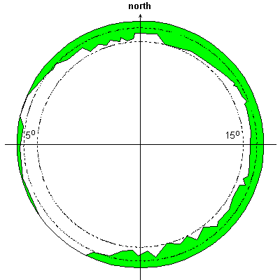
Permanent GPS observations are performed in the frame of International GNSS Service (IGS) and the EUREF Permanent Network (EPN). Data are used in a various analysis centres for determinations of precise coordinates and velocities (to establish and maintain reference frames), precise GNSS orbits (GPS NAVSTAR, GLONASS and Galileo systems) and Low Earth Orbiters (LEO satellites), state and variation of the Earth's atmosphere and many other parameters.
Available data
The following datasets are available from GOPE station:
data from GPS, GLONASS and Galileo in daily files (30s sampling)
data from GPS, GLONASS and Galileo in hourly files (30s sampling)
data from GPS, GLONASS and Galileo in 15-min files (1s sampling)
data from GPS, GLONASS and Galileo in real-time stream (1s sampling)